Harriman State Park
Orange Co.,
New York
Hiking Trails:
Nurian Trail: White blaze
Ramapo-Dunderberg Trail: Red blaze
Total Time: 1:15 hour
Estimated Distance: 2.3 Miles
Pros: Quiet area with great view
Cons: Bushwhack is a bit difficult to follow
Hike Type: Loop
Level of Difficulty: Difficult
Google Maps of Parking:
https://goo.gl/maps/LH1hhUExP92gqaGi7
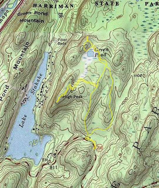
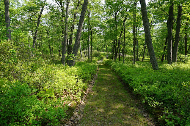
At the parking trailhead for the Victory Trail, there is another unmarked trail going north which isn't on any maps. I decided on this day to take it and see where it goes to see if goes to the top of Black Rock Mountain. After several hundred feet, the trail split and I took the left fork, which ended up as a dead-end. I then backtracked and took the right fork, which kept on going, and had a yellow unofficial blazes.
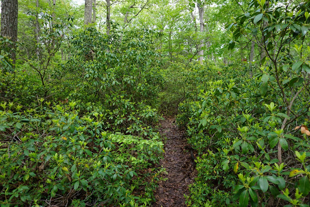
That trail then split, with the main trail going to the right and climbing up. However, there was a fallen tree about 2/3rds the way up and I lost the trail at that point. I ended up bushwhacking up the mountain to the summit of Black Rock Mountain, taking the Nurian Trail briefly at the end of the bushwhack.
I then took the Ramapo-Dunderberg Trail down the mountain, and walked alongside Kanawauke Road. I climbed up the hill and walked alongside the pond, and then headed back to my car.
 |
| Map of the Route |
 |
| Unmarked Trail at Black Rock Mountain |
 |
| Rockface and Brush near the Summit |
 |
| Black Rock Mountain Summit |
 |
| Pond Along the Road |
 |
| Frog on a Lily Pad |
 |
| Hiking Xing Sign |


